Spring in Mendrisiotto, Ticino**
Spring hiking in the southernmost part of Switzerland. Five days from a comfortable hotel base close to the shores of Lake…


Spring hiking in the southernmost part of Switzerland. Five days from a comfortable hotel base close to the shores of Lake…
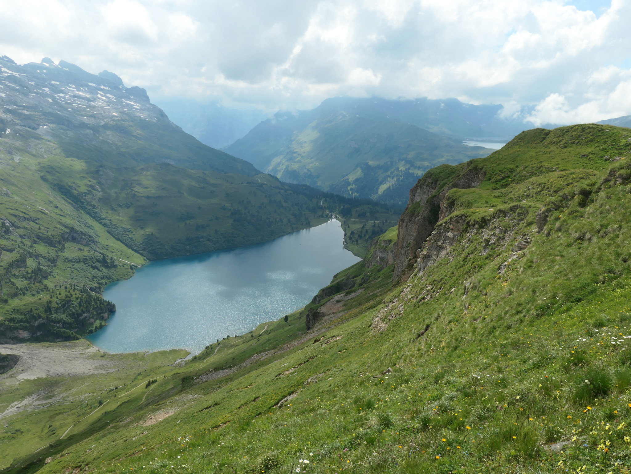
High alpine meadows with abundant spring flowers, the spectacular Engstligen waterfalls, traditional mountain farms and cheese dairies, ridges and peaks offering…
Historic passes, imposing summits, shimmering lakes, alpine pastures, fascinating geology, shady forests, an amazing diversity of alpine flowers… A hotel-based week…
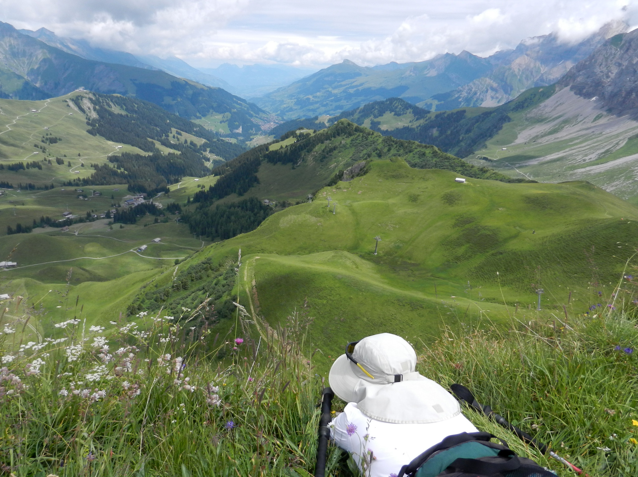
A weekend of itinerant panoramic hikes on the Via Alpina. Highlights: Engstlenalp with its idyllic lake, nostalgic mountain hotel and alpine…
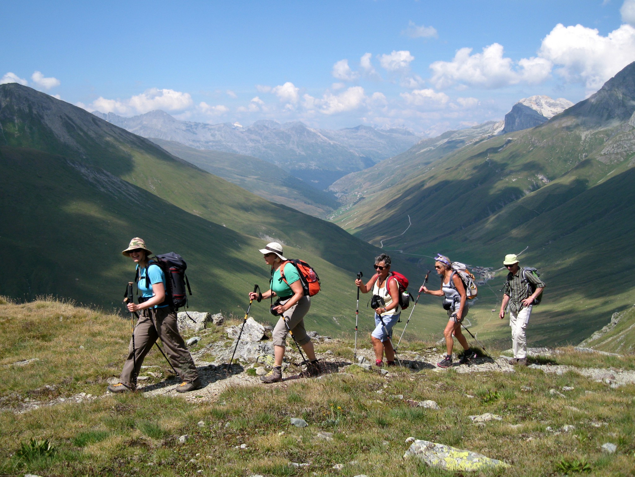
A four-day circular trek beginning and ending in the pretty village of Kandersteg. Guided by David Erard. Highlights Long views of…
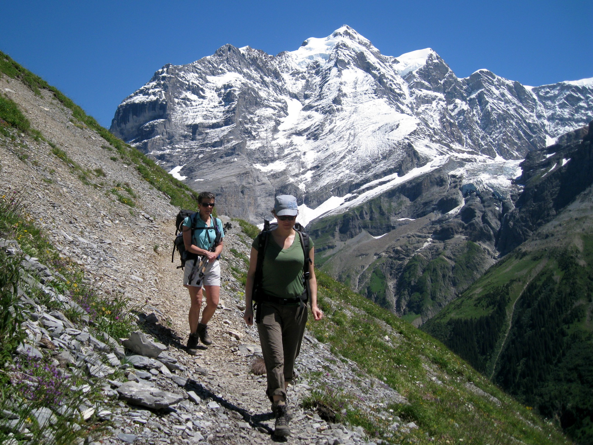
Hiking weekend above the impressive Lauterbrunnen valley. Highlights: panoramic views of Eiger, Mönch and Jungfrau; flower-filled meadows; waterfalls; nature reserve; overnight…
Five days of guided hiking, including three from a comfortable hotel base, to discover the magnificent region of Bergün-Albula in the…
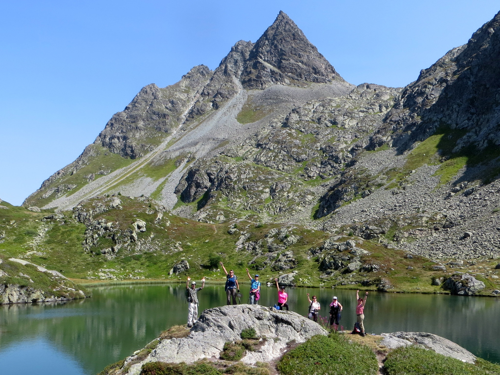
Five days of guided hiking in the Swiss National Park. Guided by David Erard. Meeting in Zernez at 18:00 on Sunday…
(PENDING CONFIRMATION; prices may vary) Two days of guided hiking with one night in Schwarzsee (Jaun region).Guided by David Erard. Highlights…
Para facilitar la comprensión de la dificultad de cada ruta, verá 1, 2, 3 o 4 estrellas junto al título de cada ruta.
Esto te dará una idea rápida del terreno y del esfuerzo requerido.
Sendero bien señalizado, terreno plano o pendientes suaves, señalización amarilla.
Típicamente:
± 8 km
± 600 metros de desnivel positivo
± 4 horas de caminata efectiva
Sendero continuo, terreno a veces empinado, posible riesgo de caída.
Principalmente señalización amarilla con algunos tramos cortos marcados blanco-rojo-blanco.
Típicamente:
± 10 km
± 800 metros de desnivel positivo
± 4:30 horas de caminata efectiva
El sendero no siempre es visible. Posibles tramos expuestos, pedreras o laderas herbosas.
Aproximadamente mitad señalización amarilla y mitad blanco-rojo-blanco.
Típicamente:
± 10 km
± 1000 metros de desnivel positivo
± 5:30 horas de caminata efectiva
Huella del sendero débil o parcial. Terreno expuesto posible, pedreras y pendientes más pronunciadas.
Principalmente señalización blanco-rojo-blanco.
Típicamente:
± 12 km
± 1200 metros de desnivel positivo
± 6 horas de caminata efectiva
Pour faciliter la compréhension du niveau de difficulté de chaque randonnée, vous verrez 1, 2, 3 ou 4 étoiles à côté du titre de chaque randonnée.
Cela vous donne une idée rapide du terrain et de l’effort requis.
Sentier bien marqué, terrain plat ou pentes douces, balisage jaune.
Typiquement :
± 8 km
± 600 mètres de dénivelé positif
± 4 heures de marche effective
Sentier continu, terrain parfois raide, risque de chute possible.
Principalement balisage jaune avec quelques courts passages balisés blanc-rouge-blanc.
Typiquement :
± 10 km
± 800 mètres de dénivelé positif
± 4 h 30 de marche effective
Sentier pas toujours visible. Possibles passages exposés, pierriers ou pentes herbeuses.
Environ moitié balisage jaune et moitié blanc-rouge-blanc.
Typiquement :
± 10 km
± 1000 mètres de dénivelé positif
± 5 h 30 de marche effective
Traces de sentier faibles ou partielles. Terrain exposé possible, pierriers et pentes plus raides.
Principalement balisage blanc-rouge-blanc.
Typiquement :
± 12 km
± 1200 mètres de dénivelé positif
± 6 heures de marche effective
To make it easier to understand the difficulty of each hike, you will see 1, 2, 3 or 4 stars next to the title of each hike.
This gives you a quick idea of the terrain and effort required.
Well-marked trail, flat terrain or gentle slopes, yellow trail markers.
Typically:
± 8 km
± 600 metres altitude gain
± 4 hours effective walking
Continuous trail, terrain sometimes steep, possible risk of falling.
Mostly yellow trail markers with some short passages marked white-red-white.
Typically:
± 10 km
± 800 metres altitude gain
± 4:30 hours effective walking
Trail not necessarily visible. Possible exposed sections, scree or grassy slopes.
Roughly half yellow and half white-red-white trail markers.
Typically:
± 10 km
± 1000 metres altitude gain
± 5:30 hours effective walking
Faint or partial trail traces. Exposed terrain possible, scree and steeper slopes.
Mostly white-red-white trail markers.
Typically:
± 12 km
± 1200 metres altitude gain
± 6 hours effective walking