News Muverans
Two spots added to the July Tour de Muverans A second mountain leader will be joining for extra safety and comfort….


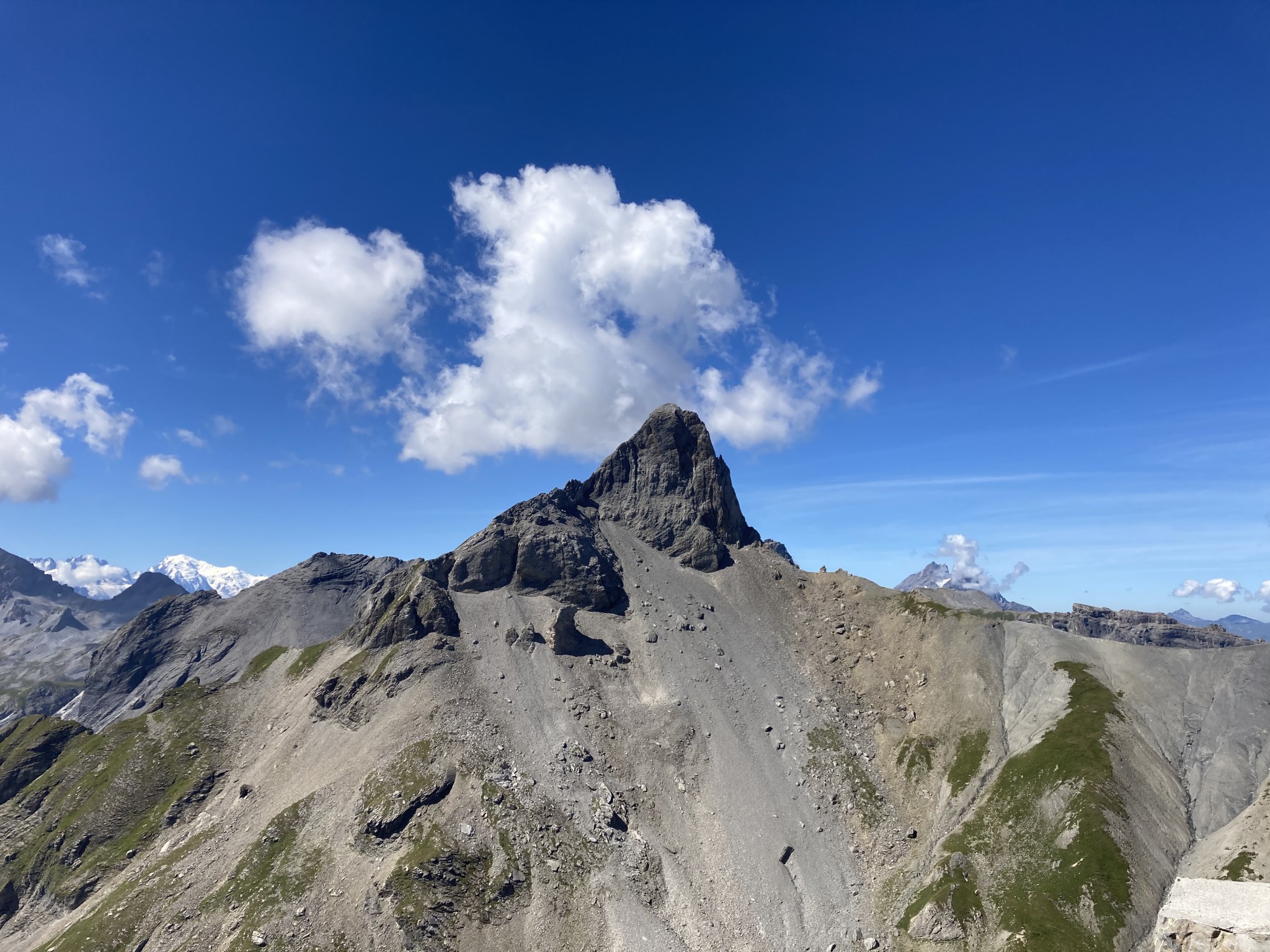
Two spots added to the July Tour de Muverans A second mountain leader will be joining for extra safety and comfort….
(NEW) Wildhaus – Nature and spirit ***+ Trek from Wildhaus to Brulisau is a gentle immersion into alpine flora. For more…

A four-day long weekend of hiking in and around Diemtigtal Nature Park, including two sections of the scenic Berner Voralpenweg from…
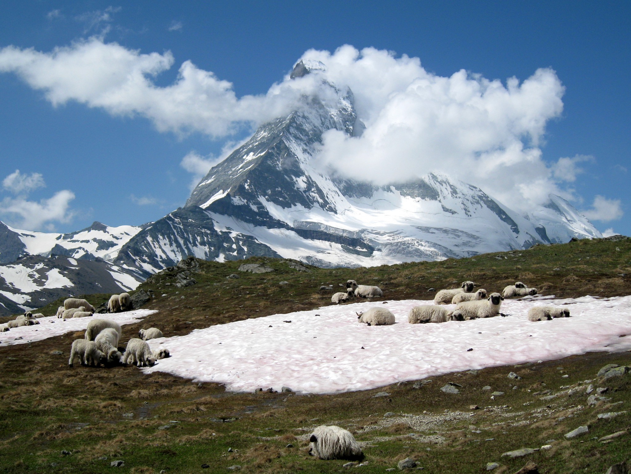
Four days of hiking high above Zermatt, surrounded by 4000-m peaks and glaciers. Not only home to the legendary Matterhorn, Zermatt…
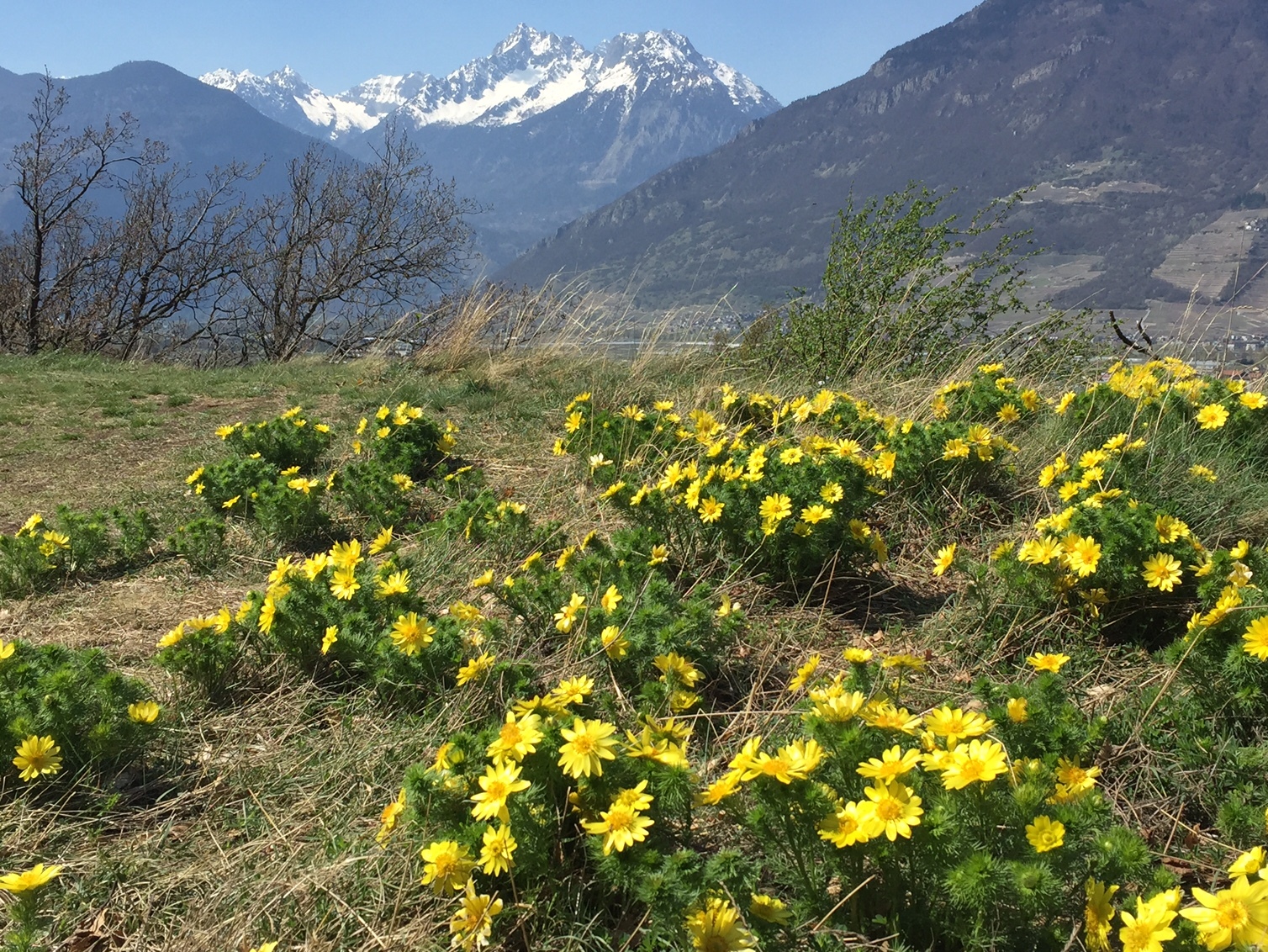
A spring walk through apricot orchards and along the famous Adonis trail to discover these rare and beautiful flowers. About 10…
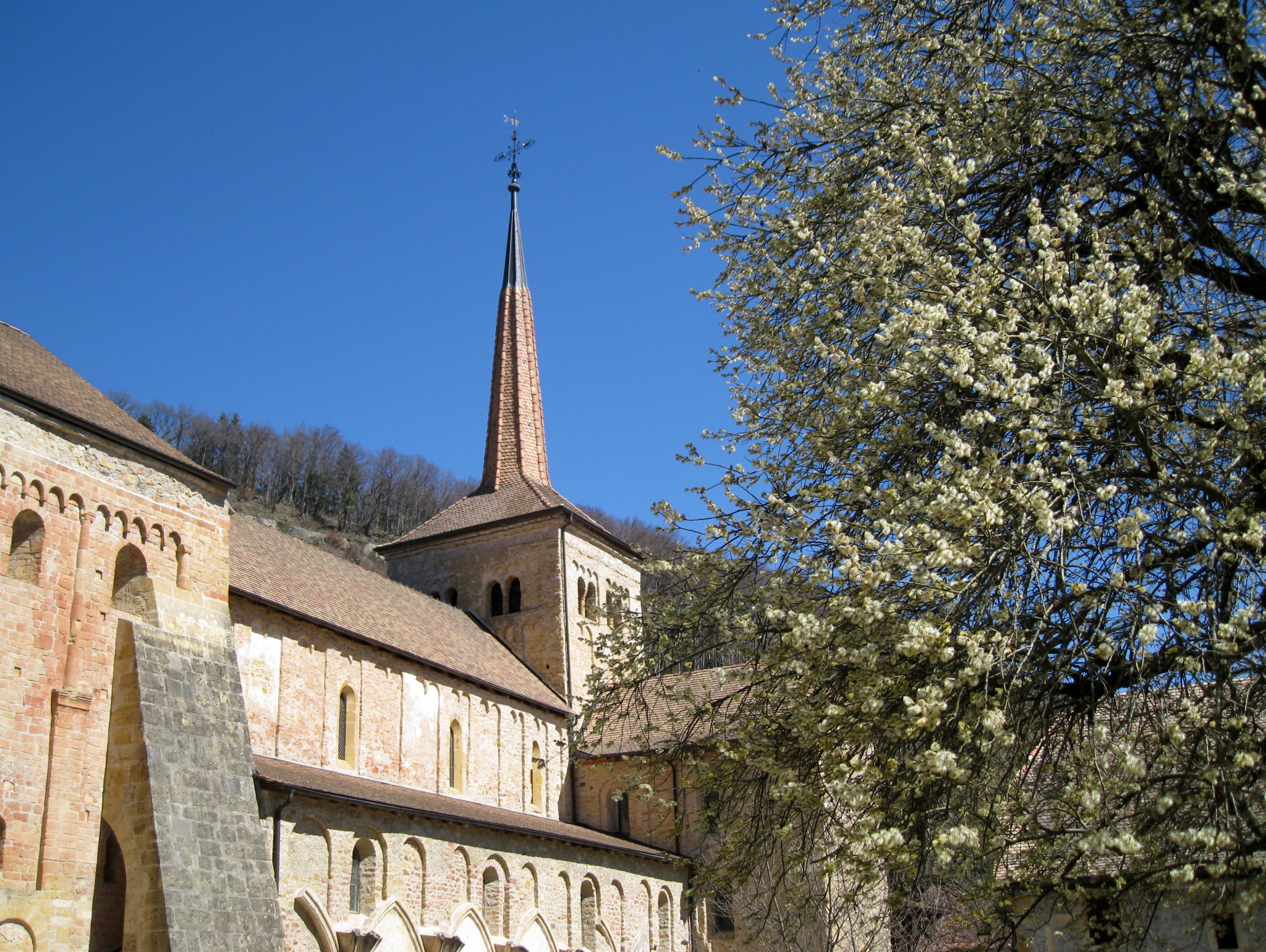
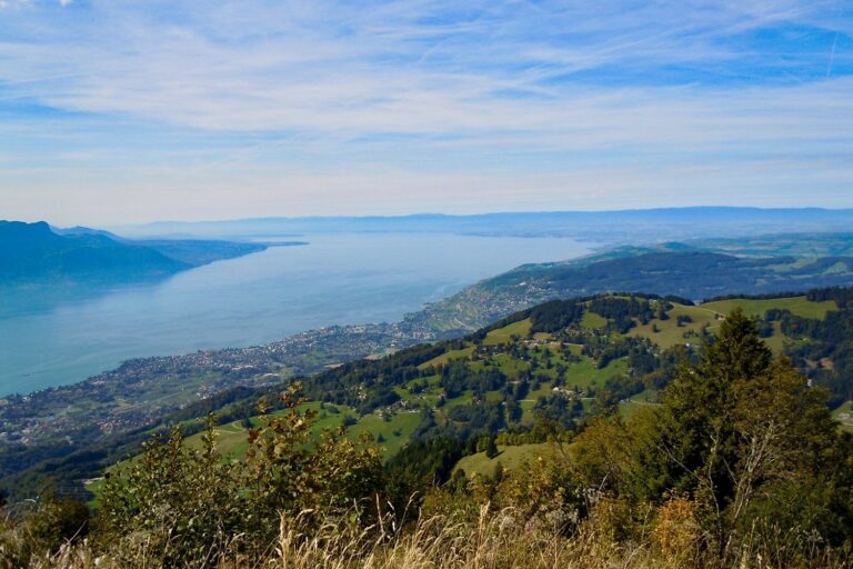
A gentle spring hike to explore the local historical heritage and natural environment around Romainmôtier, including the Nozon gorge, Dard waterfall,…
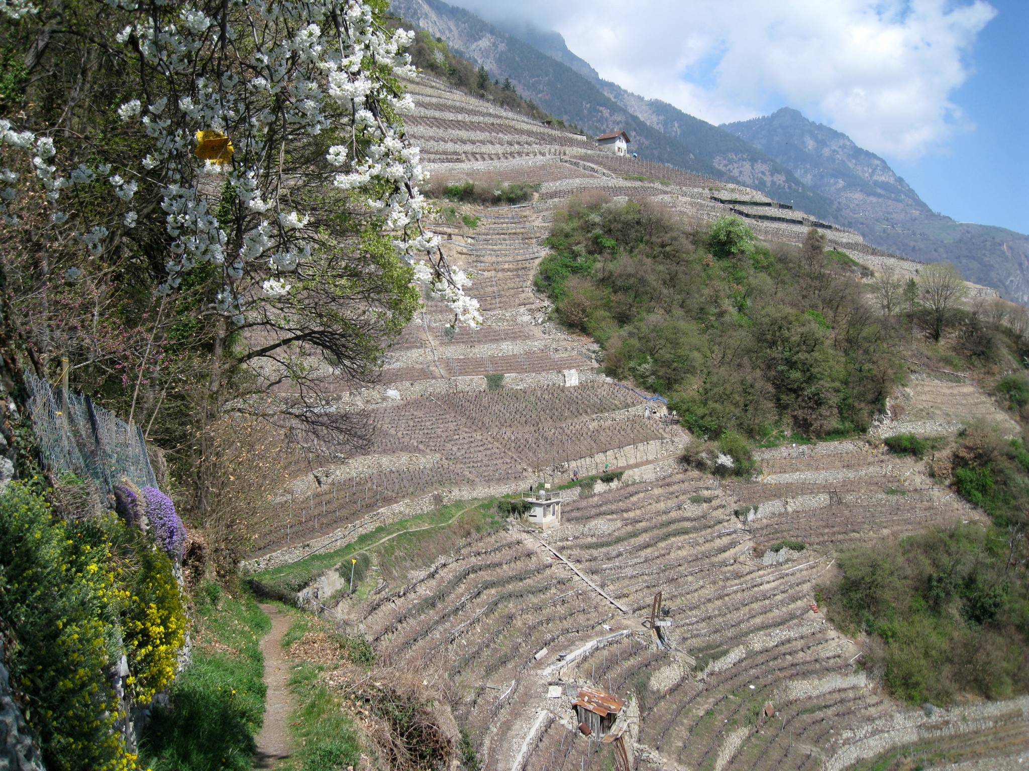
Spring walk from Fully village on a circuit taking us via steep vineyards into the Follatères nature reserve. Long views of…
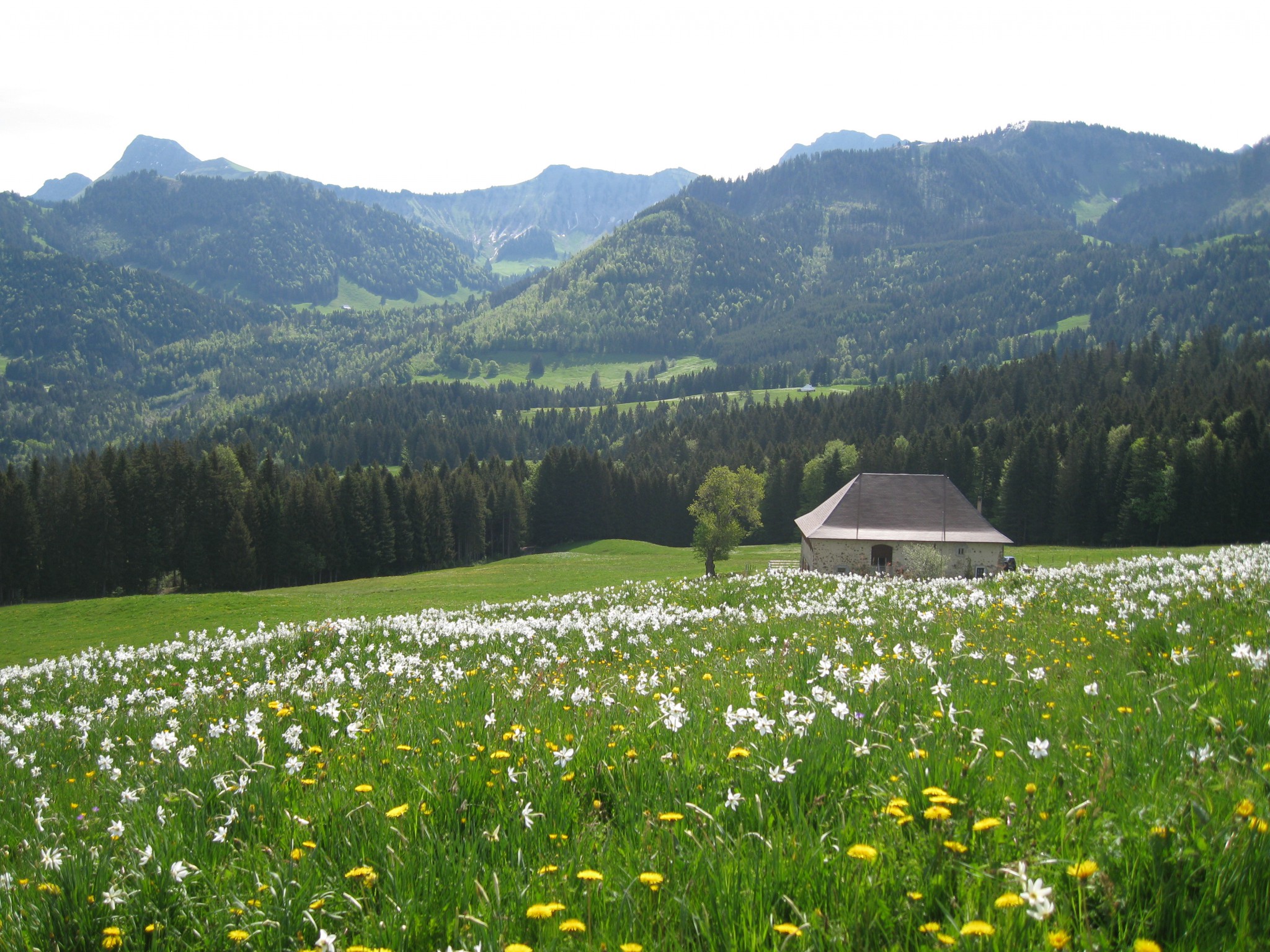
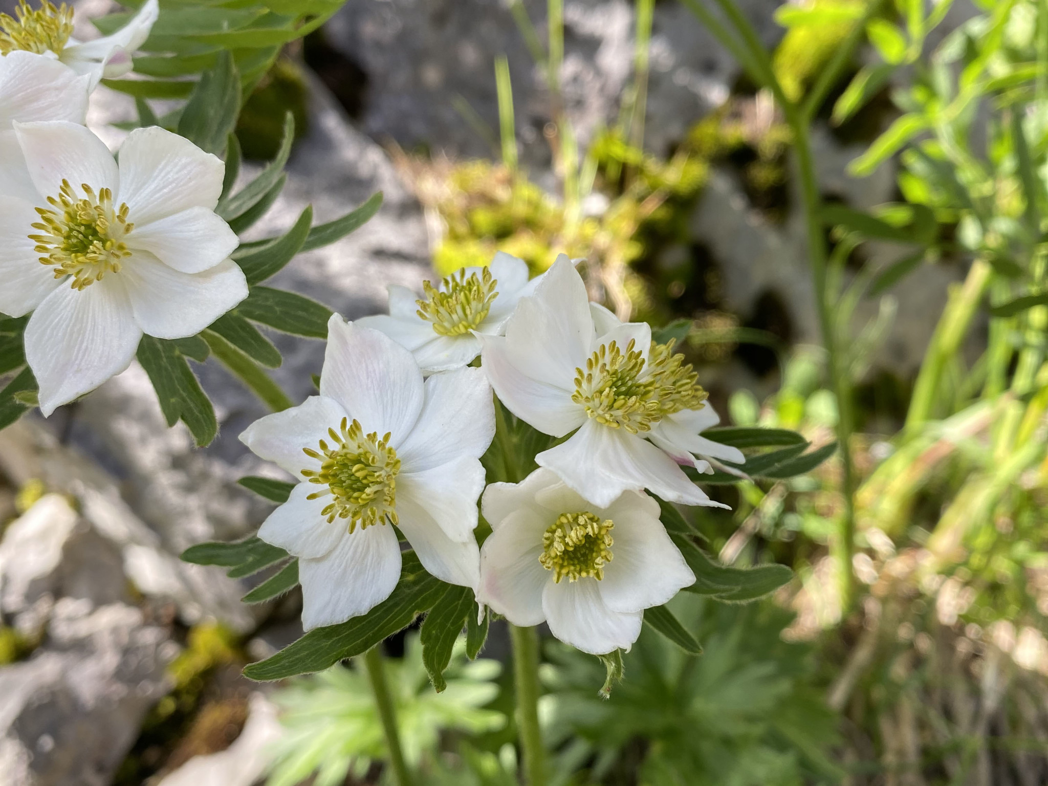
A circular walk, starting with panoramic views over the lake, and taking us through wide meadows of narcissi. We also explore…
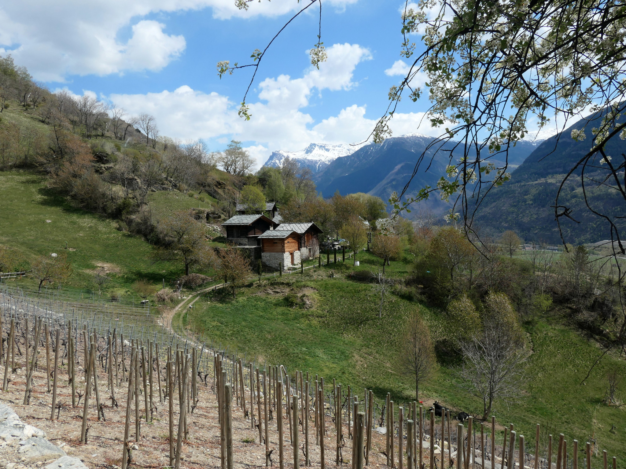
A scenic spring circuit on the sunny side of the Valais, taking us along the Manera Bisse and then a historic…
A circular walk, starting from Pautex, and taking us through forests and meadows of wild flowers. our hike takes us to…
Para facilitar la comprensión de la dificultad de cada ruta, verá 1, 2, 3 o 4 estrellas junto al título de cada ruta.
Esto te dará una idea rápida del terreno y del esfuerzo requerido.
Sendero bien señalizado, terreno plano o pendientes suaves, señalización amarilla.
Típicamente:
± 8 km
± 600 metros de desnivel positivo
± 4 horas de caminata efectiva
Sendero continuo, terreno a veces empinado, posible riesgo de caída.
Principalmente señalización amarilla con algunos tramos cortos marcados blanco-rojo-blanco.
Típicamente:
± 10 km
± 800 metros de desnivel positivo
± 4:30 horas de caminata efectiva
El sendero no siempre es visible. Posibles tramos expuestos, pedreras o laderas herbosas.
Aproximadamente mitad señalización amarilla y mitad blanco-rojo-blanco.
Típicamente:
± 10 km
± 1000 metros de desnivel positivo
± 5:30 horas de caminata efectiva
Huella del sendero débil o parcial. Terreno expuesto posible, pedreras y pendientes más pronunciadas.
Principalmente señalización blanco-rojo-blanco.
Típicamente:
± 12 km
± 1200 metros de desnivel positivo
± 6 horas de caminata efectiva
Pour faciliter la compréhension du niveau de difficulté de chaque randonnée, vous verrez 1, 2, 3 ou 4 étoiles à côté du titre de chaque randonnée.
Cela vous donne une idée rapide du terrain et de l’effort requis.
Sentier bien marqué, terrain plat ou pentes douces, balisage jaune.
Typiquement :
± 8 km
± 600 mètres de dénivelé positif
± 4 heures de marche effective
Sentier continu, terrain parfois raide, risque de chute possible.
Principalement balisage jaune avec quelques courts passages balisés blanc-rouge-blanc.
Typiquement :
± 10 km
± 800 mètres de dénivelé positif
± 4 h 30 de marche effective
Sentier pas toujours visible. Possibles passages exposés, pierriers ou pentes herbeuses.
Environ moitié balisage jaune et moitié blanc-rouge-blanc.
Typiquement :
± 10 km
± 1000 mètres de dénivelé positif
± 5 h 30 de marche effective
Traces de sentier faibles ou partielles. Terrain exposé possible, pierriers et pentes plus raides.
Principalement balisage blanc-rouge-blanc.
Typiquement :
± 12 km
± 1200 mètres de dénivelé positif
± 6 heures de marche effective
To make it easier to understand the difficulty of each hike, you will see 1, 2, 3 or 4 stars next to the title of each hike.
This gives you a quick idea of the terrain and effort required.
Well-marked trail, flat terrain or gentle slopes, yellow trail markers.
Typically:
± 8 km
± 600 metres altitude gain
± 4 hours effective walking
Continuous trail, terrain sometimes steep, possible risk of falling.
Mostly yellow trail markers with some short passages marked white-red-white.
Typically:
± 10 km
± 800 metres altitude gain
± 4:30 hours effective walking
Trail not necessarily visible. Possible exposed sections, scree or grassy slopes.
Roughly half yellow and half white-red-white trail markers.
Typically:
± 10 km
± 1000 metres altitude gain
± 5:30 hours effective walking
Faint or partial trail traces. Exposed terrain possible, scree and steeper slopes.
Mostly white-red-white trail markers.
Typically:
± 12 km
± 1200 metres altitude gain
± 6 hours effective walking